

Civil Engineering ETDs
Publication Date
Spring 5-12-2017
Abstract
Roadway pavement surface distress information is essential for effective pavement asset management, and subsequently, transportation agencies at all levels dedicate a large amount of time and money to routinely collect data on pavement surface distress conditions as the core of their asset management programs. These data are used by these agencies to make maintenance and repair decisions. Current methods for pavement surface distress evaluation are time-consuming and expensive. Geospatial technologies provide new methods for evaluating pavement surface distress condition that can supplement or substitute for currently-adopted evaluation methods. However, few previous studies have explored the utility of geospatial technologies for pavement surface distress evaluation. The primary scope of this research is to evaluate the potential of three geospatial techniques to improve the efficiency of pavement surface distress evaluation, including empirical analysis of high-spatial resolution natural color digital aerial photography (HiSR-DAP), empirical analysis of hyper-spatial resolution natural color digital aerial photography (HySR-DAP), and inferential geospatial modeling based on traffic volume, environmental conditions, and topographic factors. Pavement surface distress rates estimated from the aforementioned geospatial technologies are validated against distress data manually collected using standard protocols. Research results reveal that straightforward analysis of the spectral response extracted from HiSR-DAP can permit assessment of overall pavement surface conditions. In addition, HySR-DAP acquired from S-UAS can provide accurate and reliable information to characterize detailed pavement surface distress conditions. Research results also show that overall pavement surface distress condition can be effectively estimated based on the extent of geospatial data and inferential modeling techniques. In the near term, these proposed methods could be used to rapidly and cost-effectively evaluate pavement surface distress condition for roadway sections where field inspectors or survey vehicles cannot gain access. In the long term, these proposed methods are capable of being automated to routinely evaluate pavement surface distress condition and, ultimately, to provide a cost-effective, rapid, and safer alternative to currently-adopted evaluation methods with substantially reduced sampling density.
Keywords
Pavement Surface Distress; Distress Evaluation; Geospatial Techniques; Remote Sensing; Small-Unmanned Aircraft Systems
Sponsors
UNM Research Allocation Committee; U.S. Department of Transportation
Document Type
Dissertation
Language
English
Degree Name
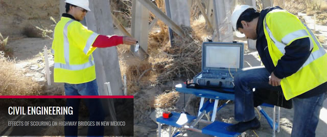
Civil Engineering
Level of Degree
Doctoral
Department Name
Civil Engineering
First Committee Member (Chair)
Susan Bogus Halter
Second Committee Member
Christopher D. Lippitt
Third Committee Member
Guohui Zhang
Fourth Committee Member
Vanessa Valentin
Recommended Citation
Zhang, Su. "Pavement Surface Distress Detection, Assessment, and Modeling Using Geospatial Techniques." (2017). https://digitalrepository.unm.edu/ce_etds/169
Included in
Civil and Environmental Engineering Commons, Geographic Information Sciences Commons, Remote Sensing Commons
